209
Overnight Bluff Backpack in the Lower Buffalo Wilderness
12/3/15
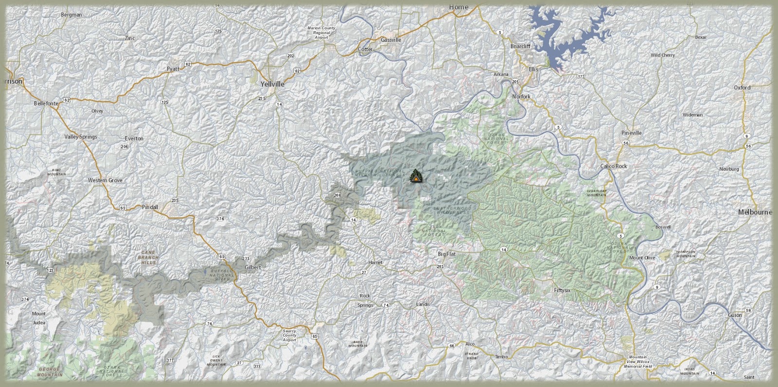
With Thursday and Friday off it was my duty to enter some forested acreage in the Arkansas Ozark Mountains. This week's selection was the Lower Buffalo Wilderness. This is an often overlooked wilderness due to its out of the way location and rugged killer terrain...killer...as in...it will kill you. Many a hiker has perished within the confines of this danger filled woodland. As for me...I have returned with my life on two occasions already, so my time might be up on this trip. Afore entering said hellscape, a fair breakfast was had at one of the Waffle Houses in Conway. After this it was north on Hwy 65 to the general area of interest.
At 6:00 a.m. with clear skies and a temp of 29° the wilderness boundary was stepped across. An immediate aire of danger arose from the light fog. The darkness obscured all the creatures waiting just beyond the trail. Each one with the desire to have my flesh for its bounty. Of course...my skunks did repel these bastards of the forest floor so my safety was secure for now. The trail made its way to the upper elevations over the duration of the first mile or so. Most ridges here have old roadbeds that have become trails created mostly by the likes of horse people. Many small to medium sized rocks cover the ground just beneath the leaves waiting for your boot the engage their rounded surfaces. These hardened mud balls are constantly at odds with your feet. The ball bearing action of the small rocks try to slide you off your feet while the larger ones constantly supinate and pronate yer ankles to no end.
The sun exposed the landscape with an orange glow...and this was pleasing. There are many old roads that fork off here and fork off there, making it easy for one to lose one's way and eventually die from wandering aimlessly. My plan involved following a series of ridges that would ultimately end at the banks of the Buffalo. By 10:40 the river was in sight. This particular area was not much to look at and gravel bars were hard to come by due to the water level. My path then turned from south to east as the ridge there was climbed in an upwards fashion until equilibrium between rock and sky was achieved. Many bluffs were encountered and stood upon. One was utilized for lunch. The final one became home for the afternoon and night. The high for the day was around 55°...oh so pleasant.
From the front porch of my lowly pitched tarp a grand view presented itself below me. A deep bend in the river encircled a cone shaped teat of a mountain directly across the valley. The sun chose this location to hide behind as it eased beyond the trees that perched upon the peak's surface. At this time a meal composed of foodstuffs was ingested as the spectacle was savored, until darkness ensued...and the creatures came forth, once more. By 8:00 my sleeping bag encased my weary carcass. The temp was already near 40°. Sleep was hard to come by and punctuated by frequent episodes of...being awake. At 1:00 a.m. a thick fogged filled the lower valley. By 3:00 it had risen to just below my bluff. At 5:00 my camp was engulfed with the stuff. This ruined my plans for viewing a memorable sunrise so I scrambled forth and packed up all my fog moistened gear. The tarp's moisture was frozen due to the 29° temp. Crawling out through the darkness and fog was a challenge as my way was made through unfamiliar terrain choked with brush and cedars. By 6:00 my head surfaced above the obscuring mist and it was easy going from then on. The sun rose in an identical fashion to yesterday's sunrise. By now my mind was on breakfast. By 9:30 my car was found and noted to be well frosted, the temp now 35°. Total hiking distance was right at 16 miles. By 10:15 I was having breakfast at the White Sands Cafe in Cotter. This place was new to me but turned out to be very good in taste and dumpy atmosphere, and all at a great price. From there it was back to driving home but the day was so gorgeous that it was no chore at all.